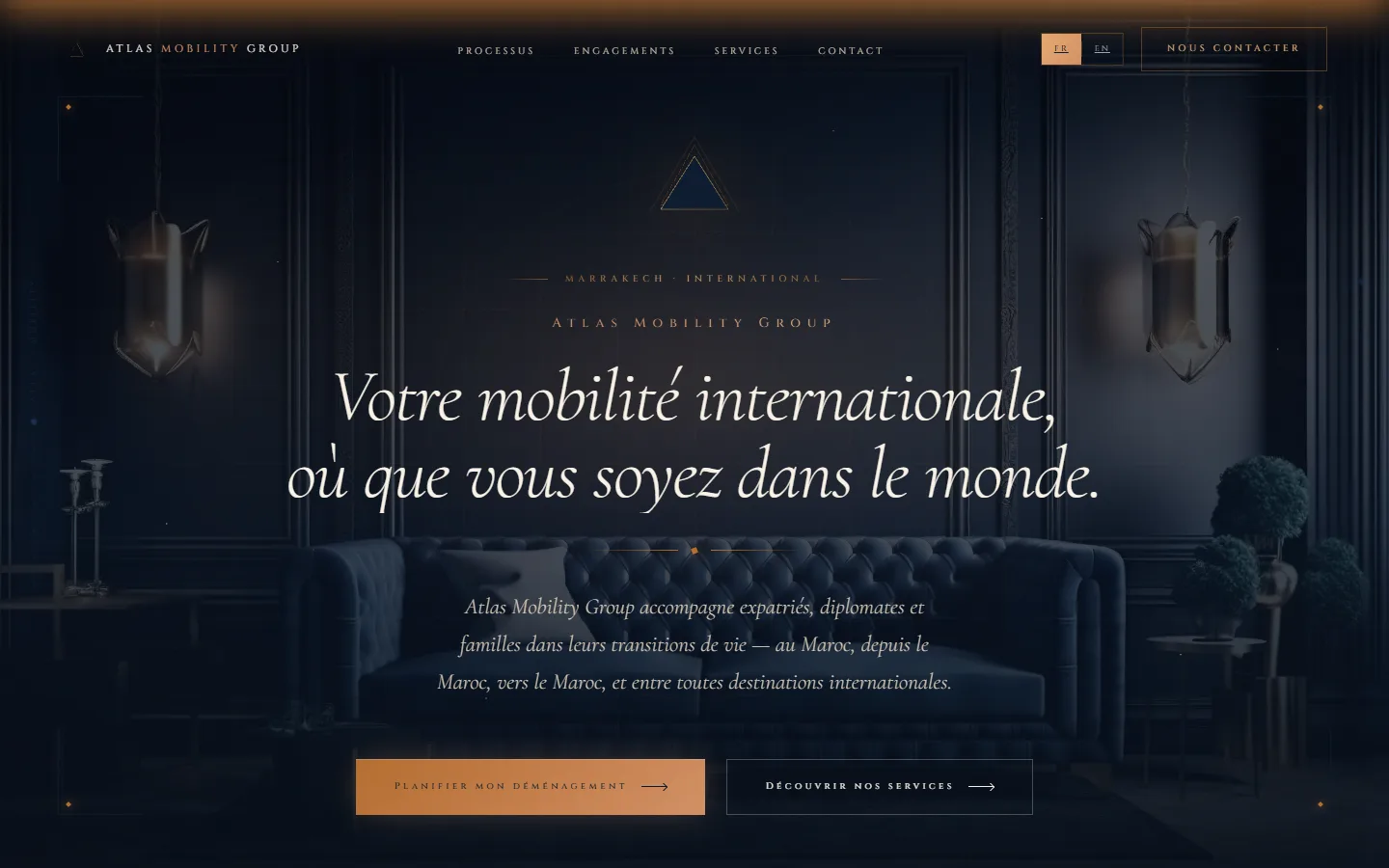
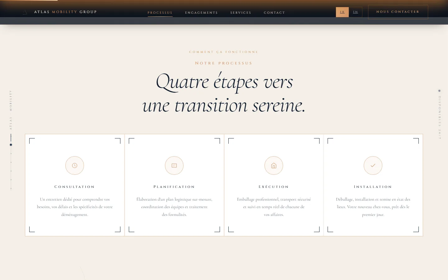
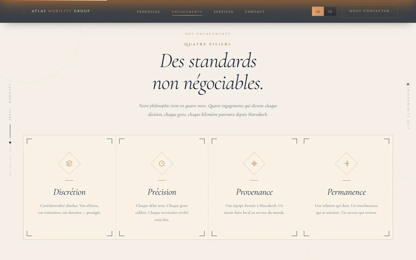
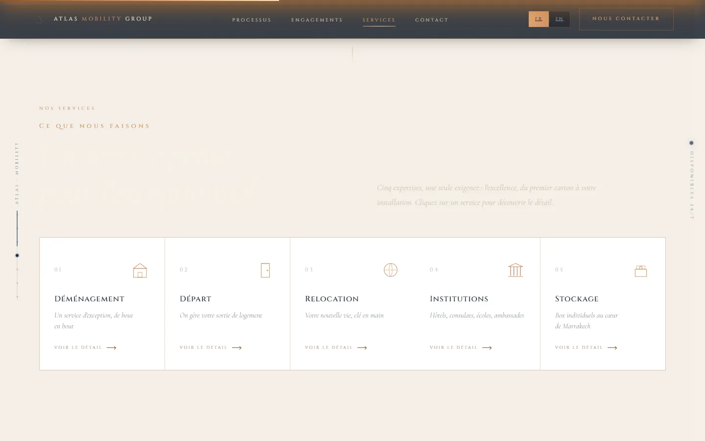
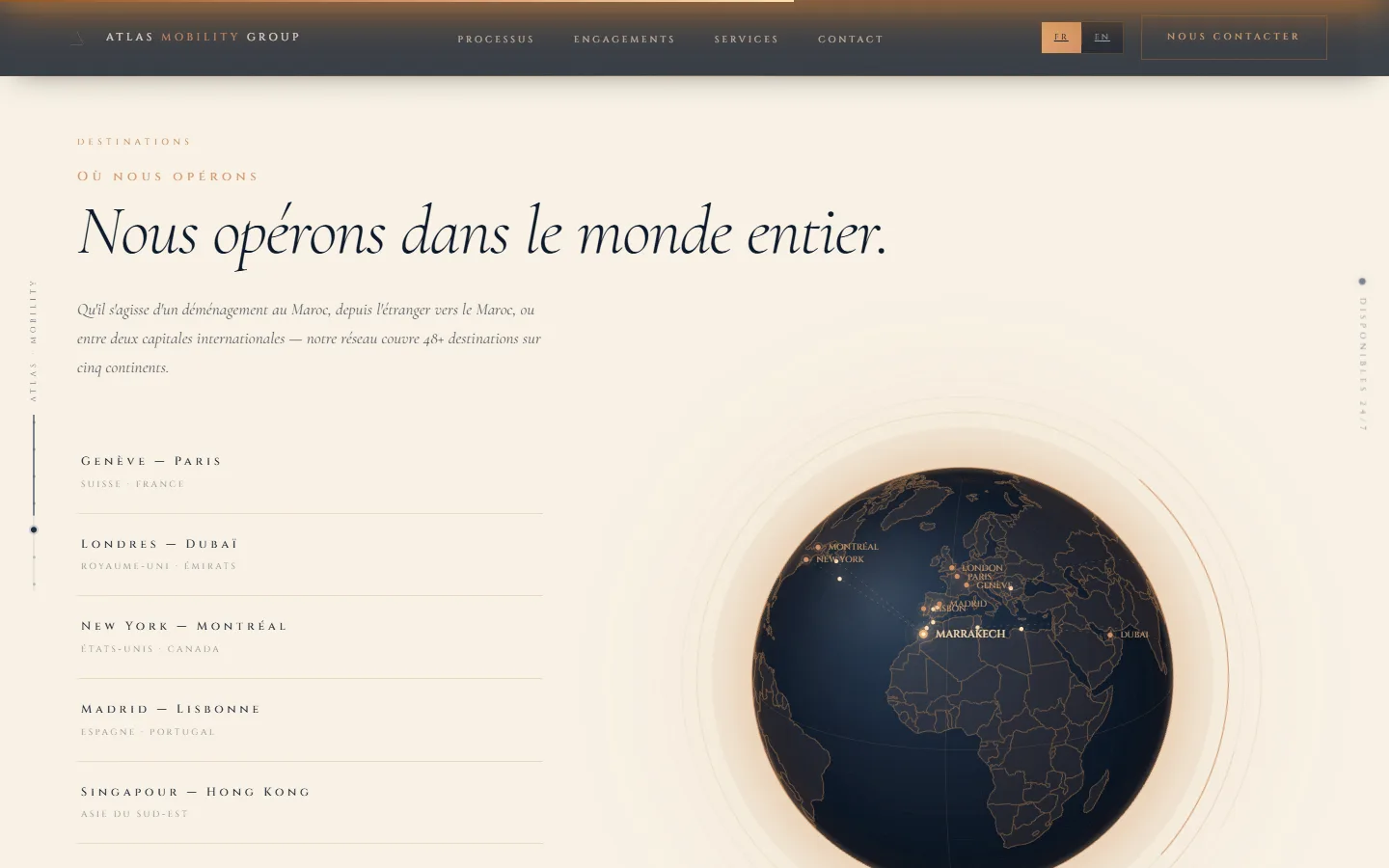
Atlas Mobility Group needed a corporate site with a strong identity, able to communicate an international presence and footprint in a memorable way, far from the generic institutional website. The brief came down to one constraint: the map must not be an illustration dropped onto the page, it must be the centre of the demonstration. A visitor should grasp the reach of the network before reading a single line of text.
⏱ Corporate site delivered and live
The approach
Interactive globe and animated maps built with d3-geo and topojson.
Orthographic projection computed in the browser: country geometry is loaded as topojson, far lighter than the equivalent GeoJSON, then converted on the fly at render time.
Rotation, hover and territory highlighting driven from the keyboard as well as the mouse, without depending on a third-party mapping library.
Dark and gold art direction, carefully tuned scroll animations.
Vite architecture for straightforward performance and maintenance.
Editorial sections putting the activity and the geographic footprint forward.
Responsive down to mobile: below a certain width the globe gives way to a flat map, which reads better on a narrow screen.
Technical stack
d3-geotopojsonVite
Results
Site live in production
Interactive, performant cartographic rendering
Distinctive visual identity
No dependency on a map provider: no API key to renew, no monthly quota, no tiles billed per view
Editorial content editable without touching the map code
Functional cookies (required) + optional analytics cookies (Google Analytics) to measure traffic. Decline analytics with no impact on your experience. Privacy Policy